Byng Inlet, ON, CA
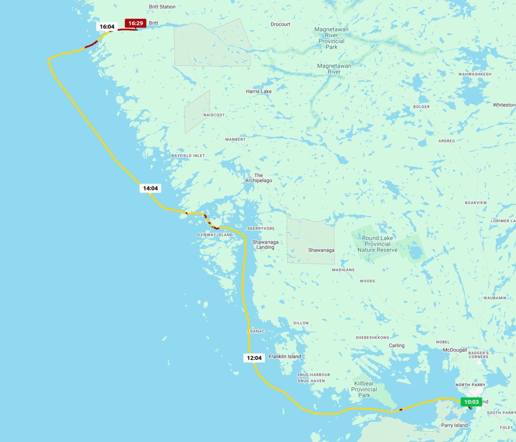
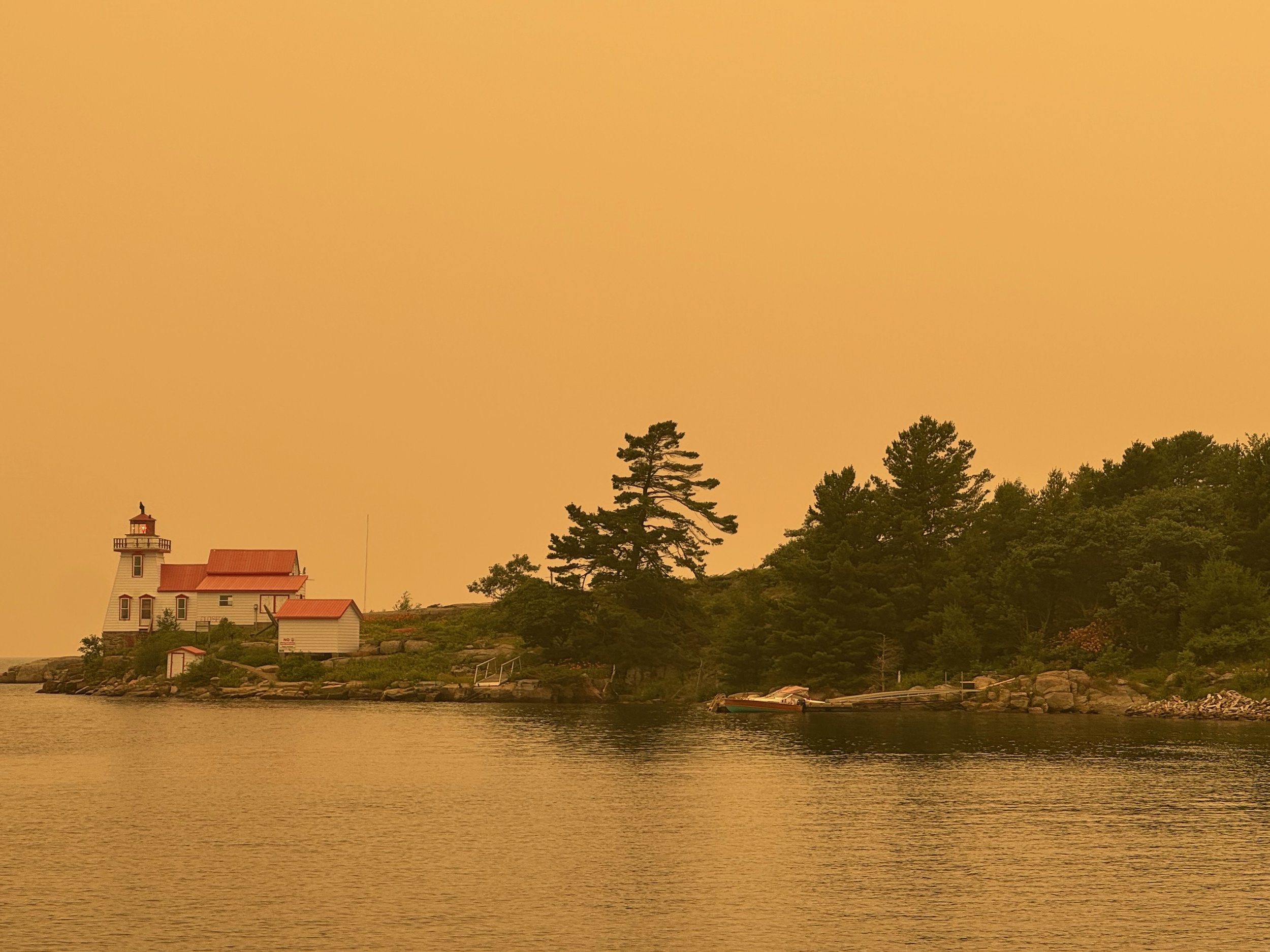
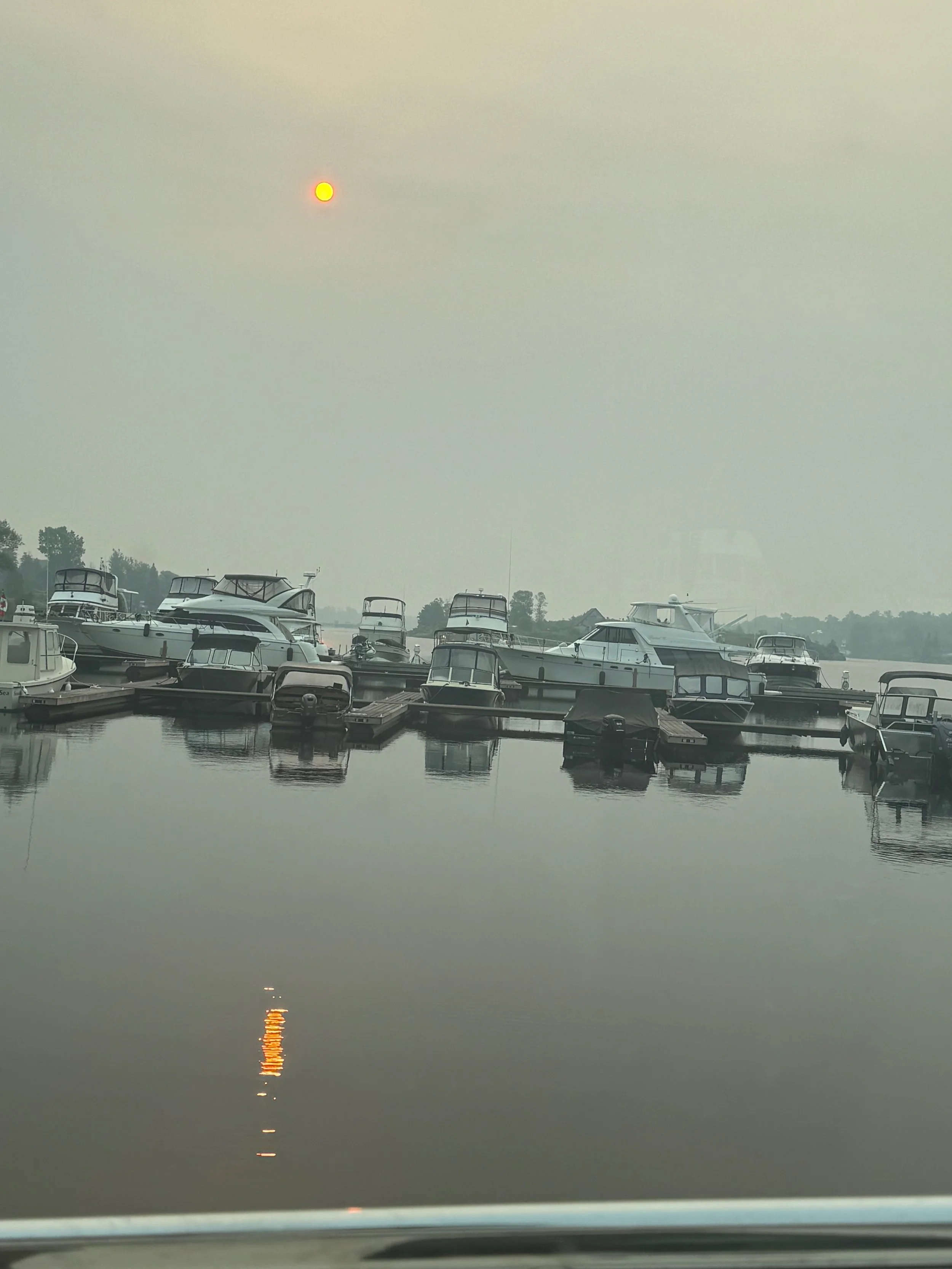
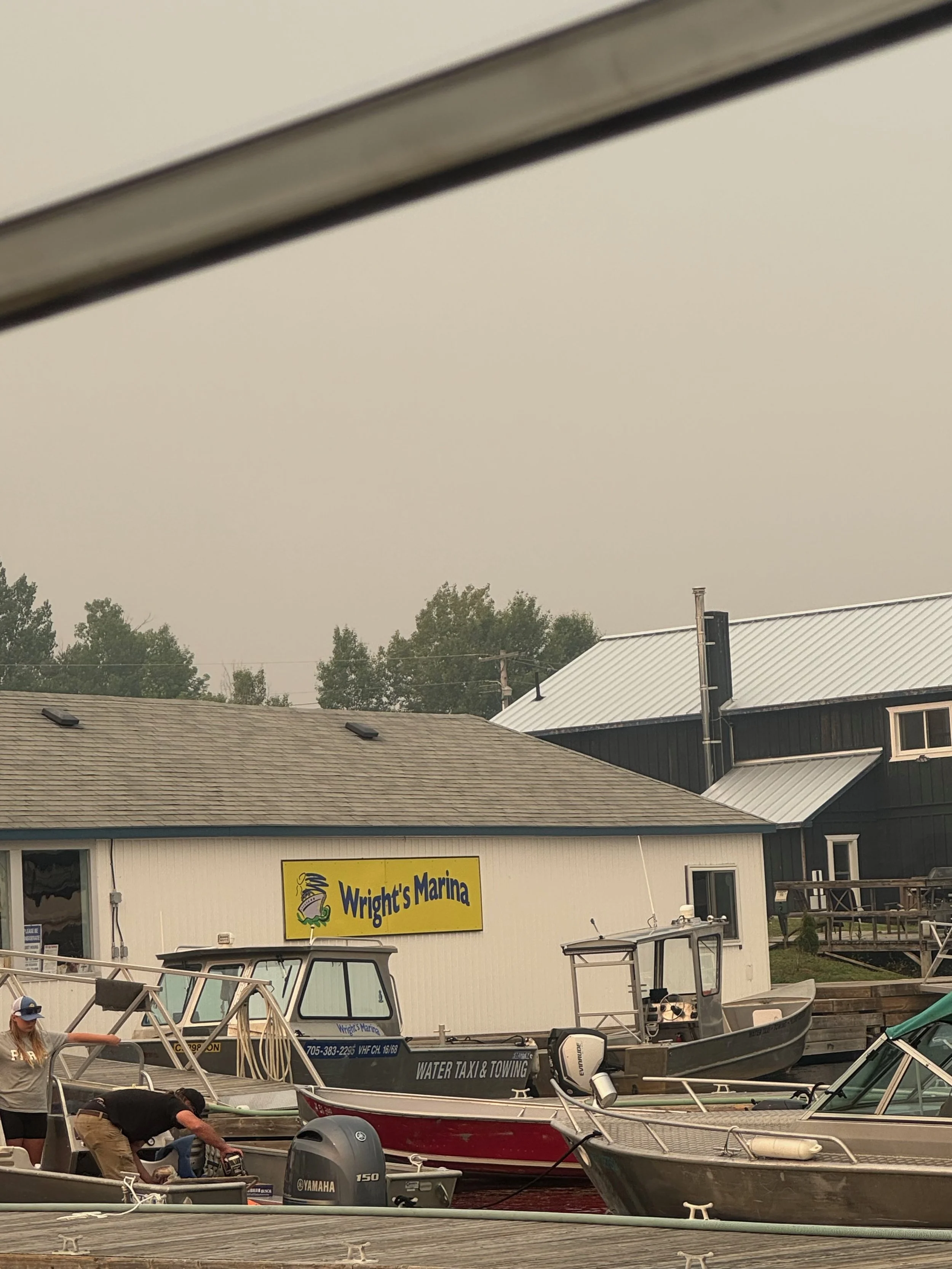
The night before leaving Parry Sound we were trading texts with some other looper friends still on the Trent Severn, and they told us they had had to pass on their plans to anchor out because the smoke from the Canadian wildfires was so bad. WAIT- WHAT? This was the first we had even heard of the fires. SURPRISE - When we woke up in the morning, we saw first hand what they were talking about! The entire sky was this dull, hazy orange color, and it became apparent very quickly that the smoke from the Northern Ontario fires drifted our way overnight, and is now wreaking havoc with our plans. We intended to anchor out at least one night between Parry Sound and Byng Inlet, but no way that is happening because we would have to be exposed to the smoke filled air all day and night, through open windows (no electricity = no ability to use our a/c). It was probably not the best idea we have ever had, but we took off anyway, and pressed on through the haze on the 52-mile leg to Byng in order to try to maintain a semblance of working our way north. We’re staying at Wrights Marina with power and air conditioning which means we can stay inside today anyway, out of the worst of the smoke.
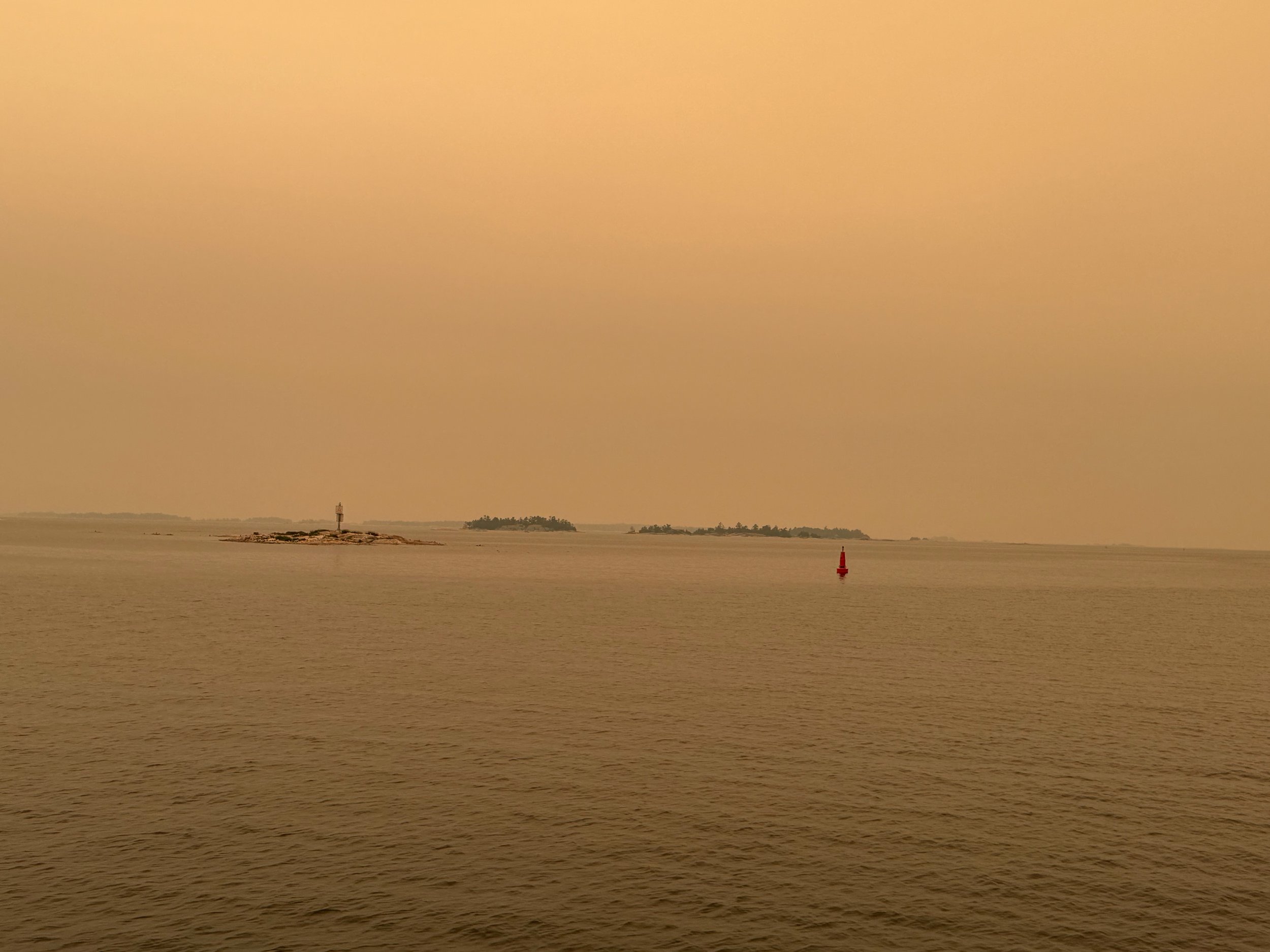
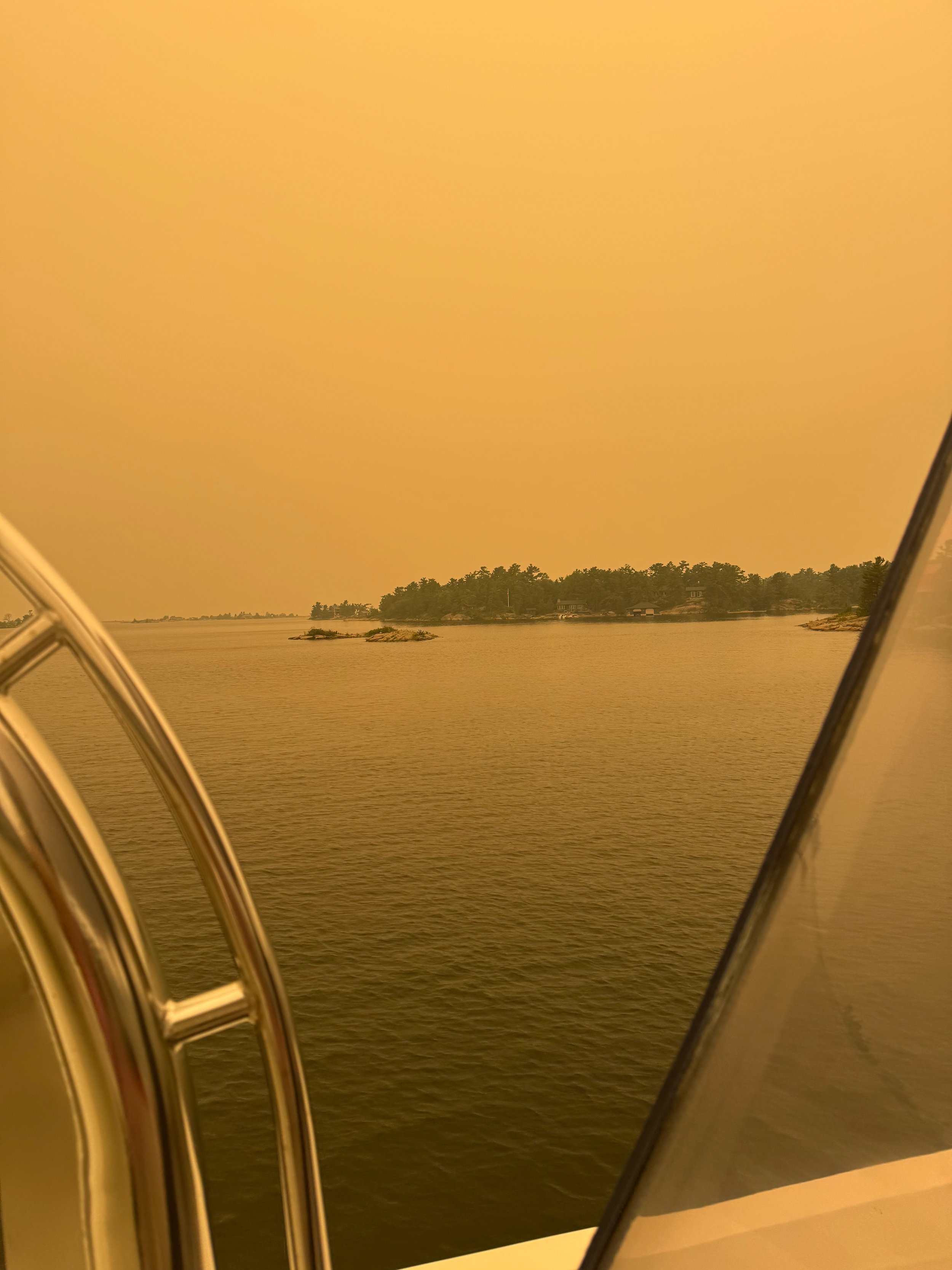
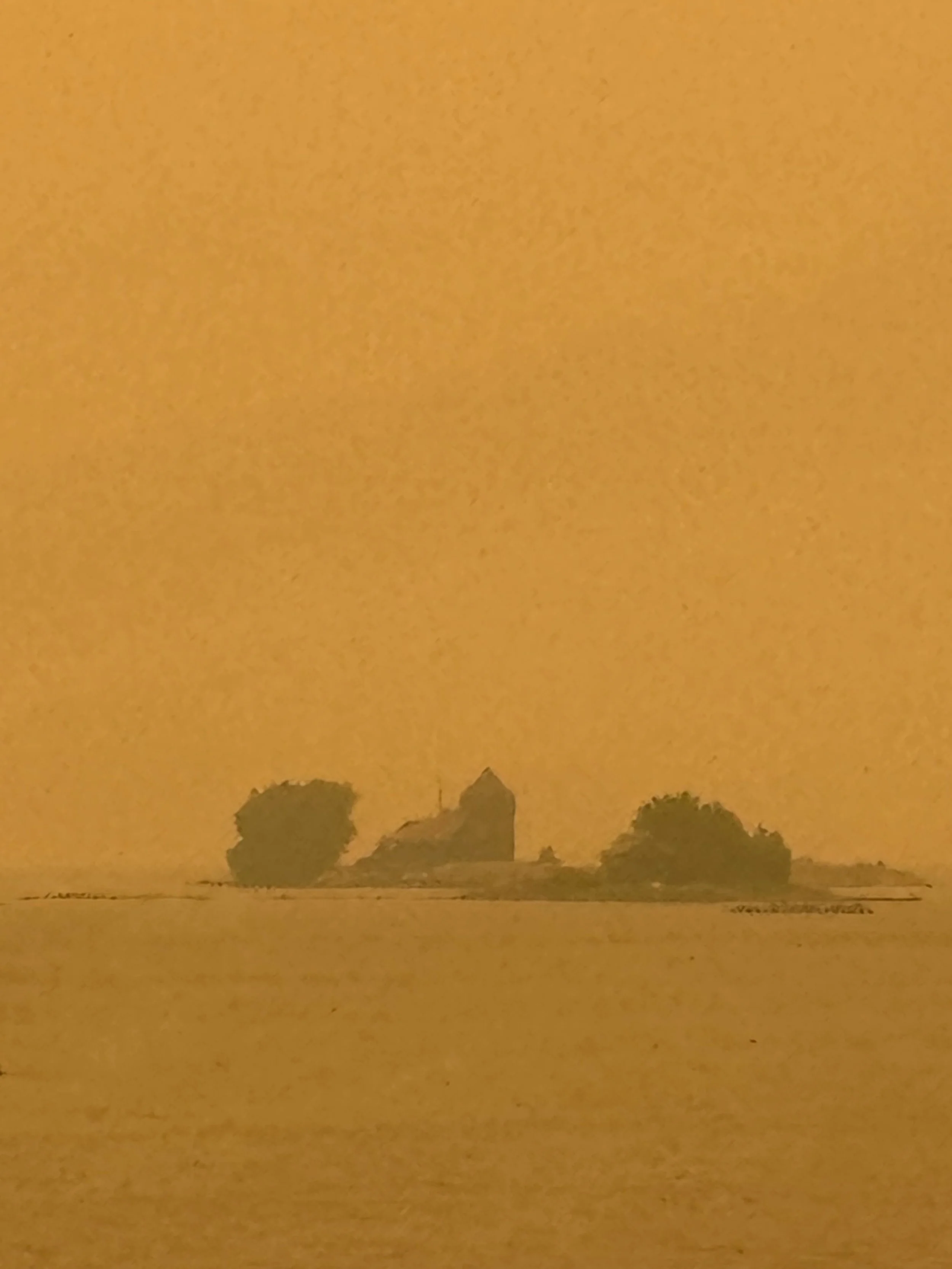
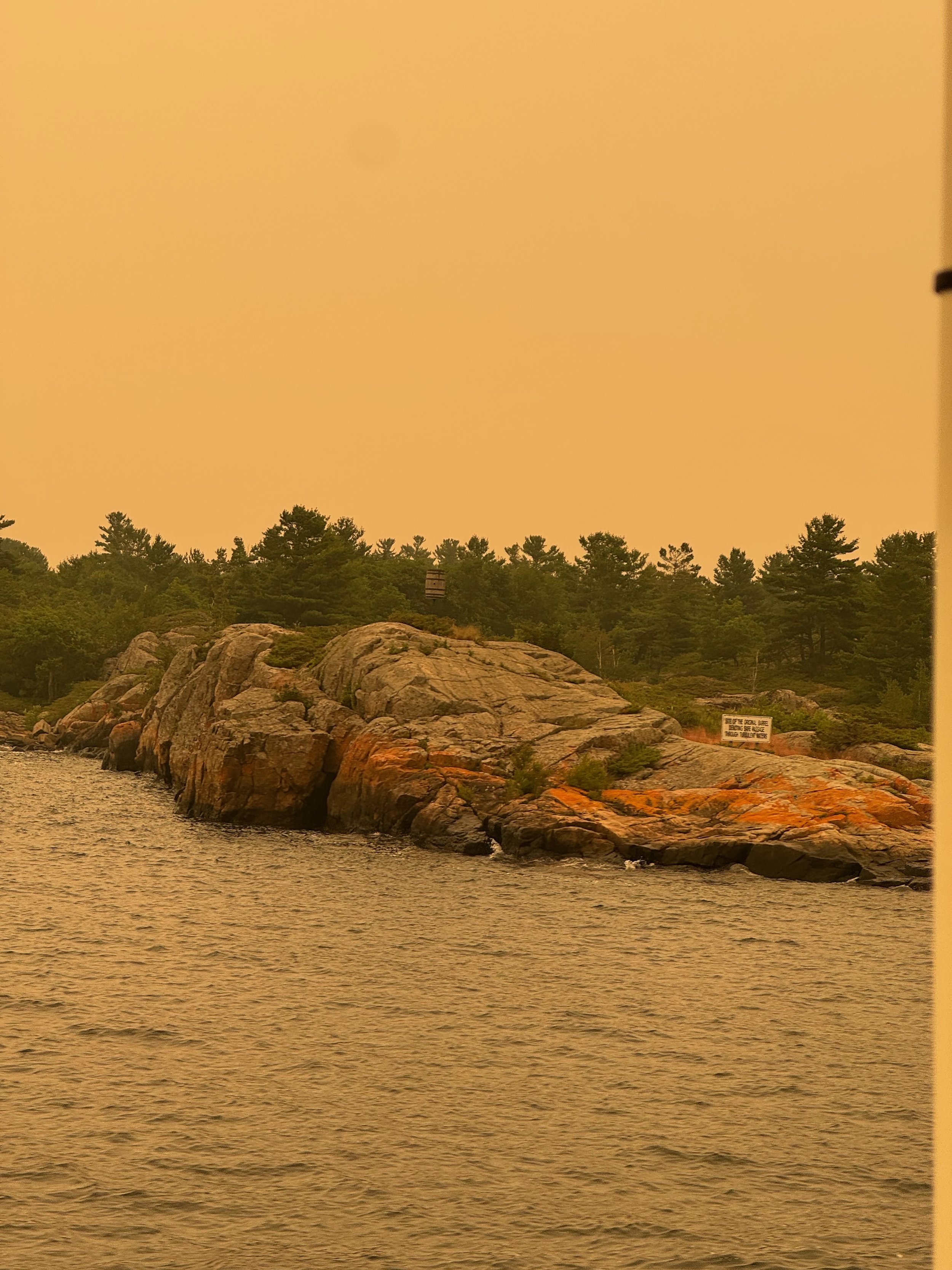
On the trip, the scenery was grey and virtually non-existent. Besides the partly cloudy weather, the smoke completely obscured the sun almost all day and our eyes and throats were def feeling the horrible air quality index. While we could partially see the trees, even close up they took on a grey tint with almost no color. Too bad because the scenery would surely have been fantastic.
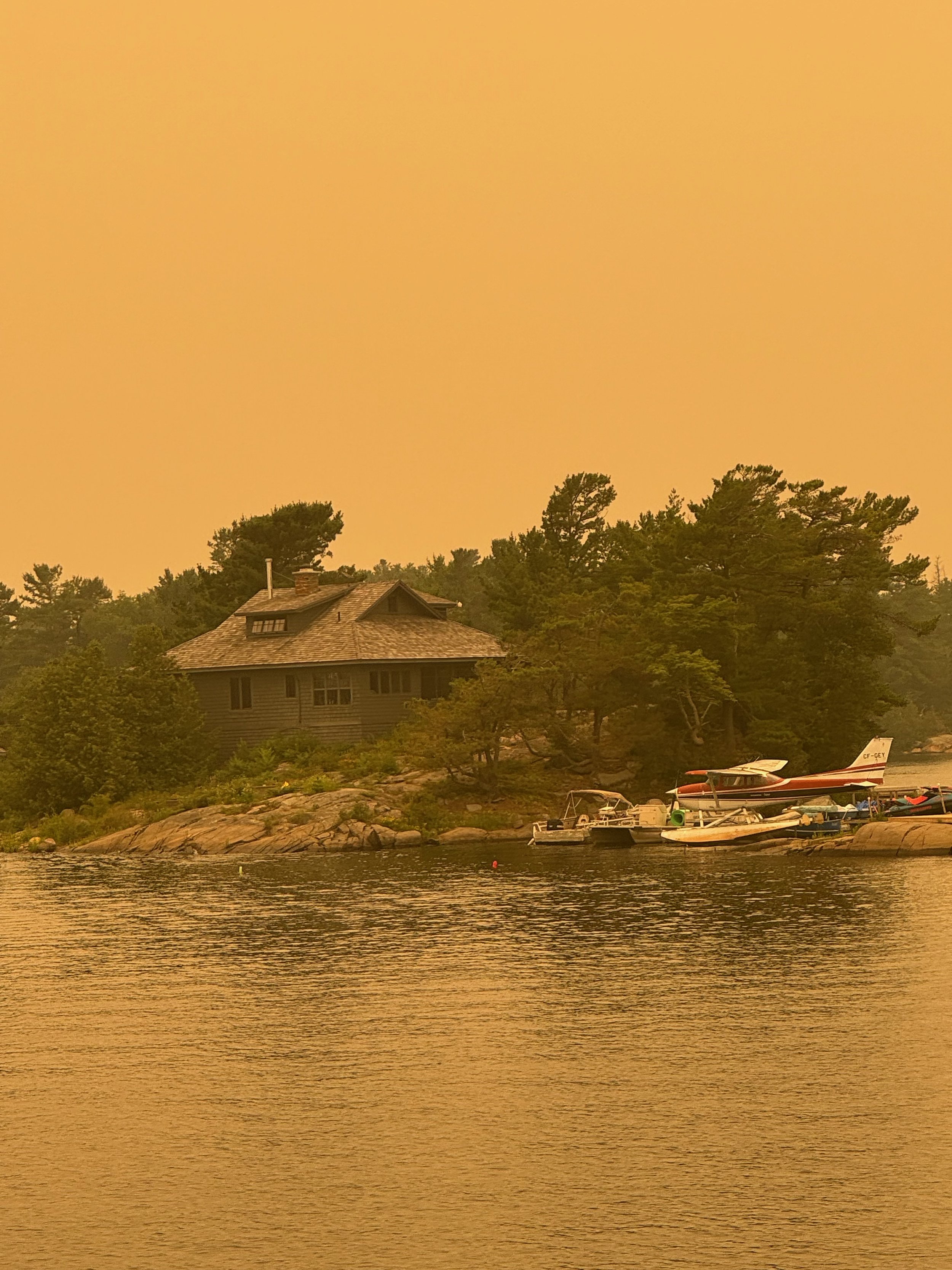
We have a couple of pictures below. There are no filters on the pictures although it appears the iPhone camera does pick up a little more orange than the naked eye. That said, you get the idea.
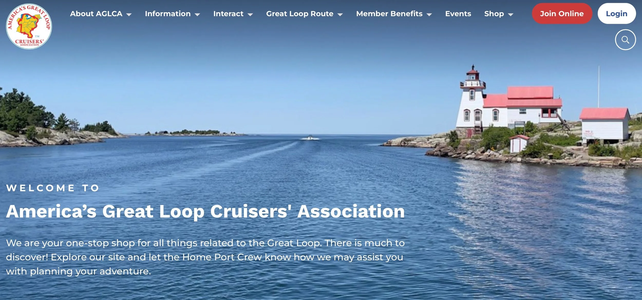
We also have a screenshot of the AGLCA home page which is of the Pointe au Baril lighthouse that we passed. We included both shots for a comparison between our picture of the same lighthouse.
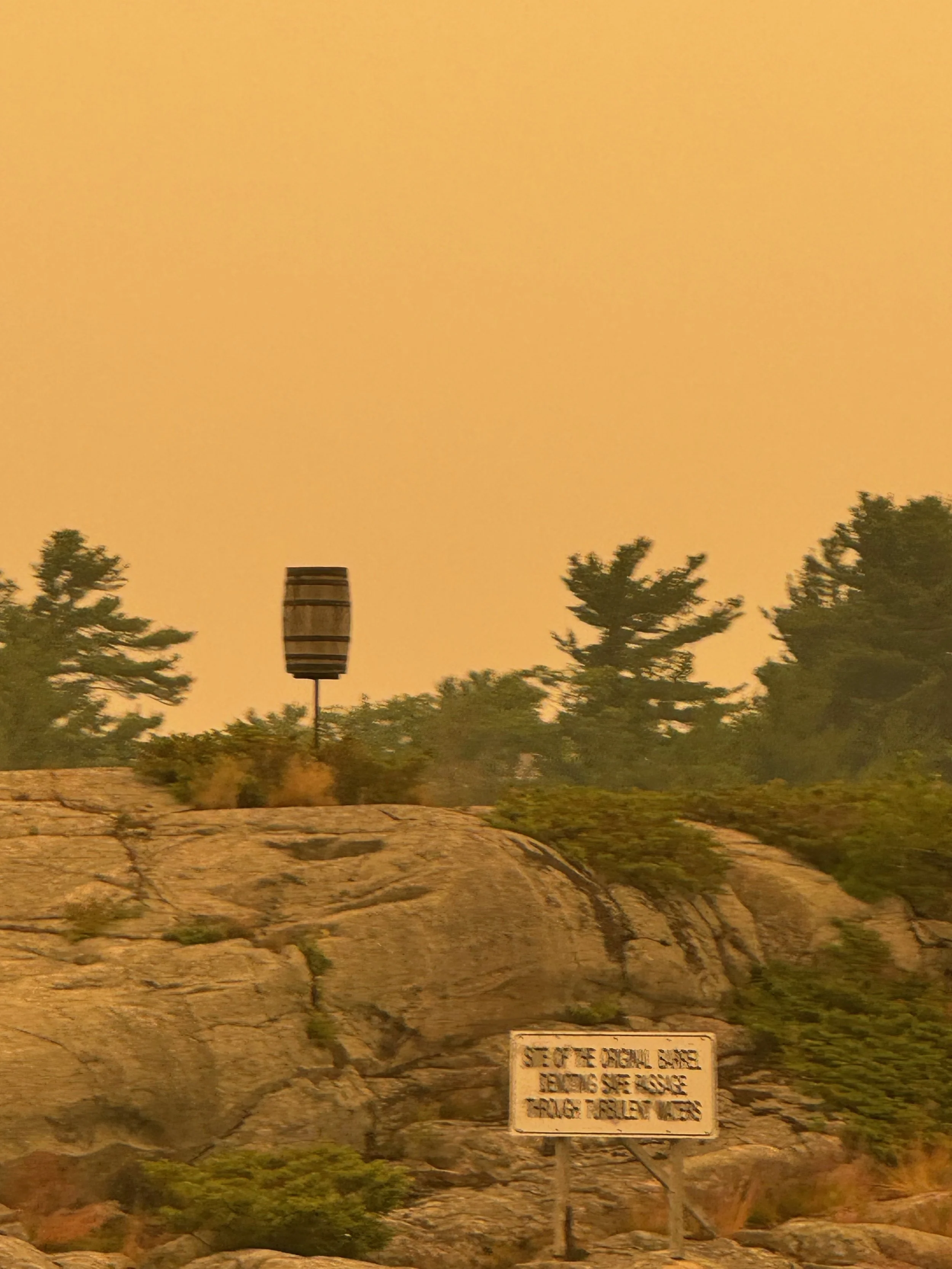
Pointe au Baril gets its name from an empty whiskey barrel that was placed on a rocky point of land that juts out into the water, by 1870s French fur traders that served as a navigation marker. In later years, fisherman from the area put a lantern in the barrel to guide fleets back to safe waters. This tradition of using a barrel as a beacon evolved into what is now a recognized and operating lighthouse.
The channels around Pointe au Baril have many cottages built on islands, and it appears that some owners simply appear fly right up to the front door of their cottages via their own floatplane. Nice!
Fortunately the wind worked in our favor (one positive) and was not a factor, so the ride went well. Coming into Byng Inlet the visibility was so poor, however that we couldn’t pick out the channel markers until we were only about a half mile from them. For any non-boaters who may be reading this, that is def not a good thing - especially when traveling in such a rocky waterway. The mantra on this entire trip that everyone repeats again and again is STAY BETWEEN THE MARKERS - We are thankful for GPS.